
SHARE SLAM S20 Review: A High-Value LiDAR Scanner for Pros
By AValidReview. An AI-assisted summary of customer feedback, not a hands-on test.
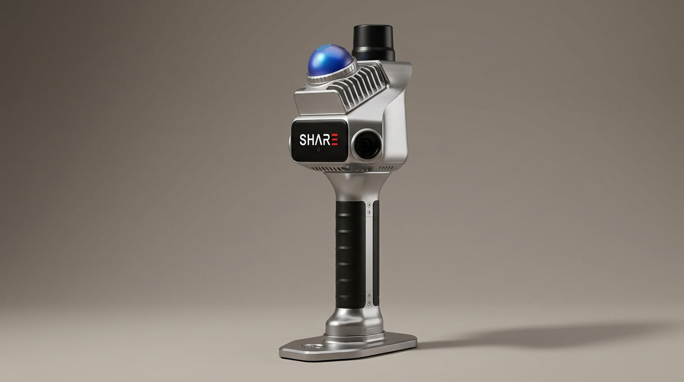
The professional 3D scanning market often demands a stark choice: precision at a premium, or compromise for affordability. SHARE3DCAM's SLAM S20 handheld LiDAR scanner enters this landscape not as a revolutionary outlier, but as a compelling argument for the 'performance-per-dollar' equation, particularly within the as-built survey and architectural documentation sectors. It signals a maturation of handheld SLAM technology, where what was once bleeding-edge capability is now accessible without a crippling capital investment.
Historically, achieving sub-3cm accuracy in handheld systems often meant navigating complex workflows or accepting significant cost barriers. The S20 challenges this dynamic by integrating advanced sensor technology with an open software approach, attempting to democratize high-fidelity spatial data capture. This positions it as a workhorse device for firms needing reliable data without the 'flagship tax' associated with some established competitors, potentially widening the access gate for professional-grade mapping.
Our assessment focuses on how the S20 actually performs in real-world scenarios, dissecting its claims against the direct experiences of its users. The core inquiry is whether its robust specifications translate into practical, repeatable results, and what trade-offs, if any, users encounter in their daily operations.
What owners love
- + Delivers high accuracy, owners report sub-3cm results
- + Effective for both interior and exterior 3D capture
- + Impressive performance relative to its price point
- + Robust hardware with dual 1-inch sensors for true color
- + Well-packaged and includes essential accessories
Common complaints
- − Software is functional but may require further refinement
- − Documentation lacks multilingual support (e.g., Japanese)
- − Requires a separate RTK NTRIP service for peak accuracy
Design & Build
The SHARE SLAM S20 presents as a purpose-built device, prioritizing robust functionality over aesthetic frills. Owners note the unit arrives well-packed, indicating attention to secure transit for sensitive equipment. The dual 1-inch large-area CMOS sensors are a key hardware specification, engineered for capturing detailed true-color point clouds. This sensor choice, combined with a built-in mechanical shutter, addresses a common challenge in handheld scanning by actively mitigating motion distortion and ensuring cleaner image data for colorization. The physical design supports the 'run-and-gun' nature of SLAM scanning, positioning it as a tool meant for demanding field conditions. Its component quality suggests a pragmatic approach to professional-grade construction rather than a budget compromise. This design philosophy underpins what we term the 'Fieldwork First' principle, where the device's physical attributes are optimized for the rigor and variability of on-site spatial capture.
Setup & Ease of Use
Owners describe the S20 as easy to operate, a critical factor for professional tools requiring consistent results across varying user skill levels. The product arrives with all necessary components, simplifying initial deployment. The ease of getting started with the S20 suggests a streamlined out-of-box experience, crucial for reducing downtime and accelerating project commencement. While the hardware itself facilitates smooth operation, the availability of comprehensive, multilingual manuals is an identified area for improvement; one owner specifically requested Japanese documentation, indicating potential friction points for international users. The product's inherent portability contributes significantly to its ease of use in diverse environments, from interior building surveys to expansive outdoor terrains. This emphasis on simple, direct operation aligns with a 'Minimal Interruption Workflow' where the technology recedes into the background, allowing the user to focus on the task of data acquisition.
Performance in Real Use
The S20 consistently delivers on its core promise of accuracy, a primary concern for any professional LiDAR system. Users report check shot results well within 3cm when paired with an RTK NTRIP service, a figure that places it firmly within professional tolerances for as-built surveys and architectural mapping. This performance is particularly noteworthy given the unit's price band, often outperforming competitors in head-to-head comparisons. Its ability to handle both interior and exterior environments effectively underscores its versatility as a single-solution device for varied project types. The 1cm relative accuracy and 70m range are not merely theoretical specifications; they translate into actionable data quality in the field. The inclusion of hardware synchronization for true-color point clouds further enhances the utility of the captured data for visualization and integration into digital twin workflows, preventing the 'color drift' that can plague less integrated systems.
Software & Ecosystem
The software suite accompanying the S20 is functional, providing the necessary tools for point cloud preview, distance, and area measurements. While owners acknowledge its efficacy, the consensus indicates room for refinement; one user described it as 'very good not great,' suggesting a solid foundation that could benefit from future upgrades. The availability of a free mobile app for real-time previews is a practical addition, offering immediate feedback during scanning operations. Critically, the S20 supports an open algorithm approach and industry-standard export formats (PLY, LAS, PCD), which is a significant advantage for integration into existing professional pipelines. This 'Ecosystem Bridge' strategy allows users to leverage their preferred post-processing tools, avoiding vendor lock-in and maximizing the product's adaptability. The focus on 3D Gaussian Splatting (3DGS) workflows also indicates a forward-looking approach, catering to emerging visualization and rendering techniques in the spatial data domain.
Value & Reliability
For its asking price, which falls into the mid-to-high thousands, the SHARE SLAM S20 delivers exceptional value. Owners repeatedly express surprise at its performance relative to cost, positioning it as a highly competitive option for professional firms. The included one-year warranty and professional technical engineer support add a layer of assurance, addressing potential concerns about long-term reliability for a device in this segment. The robust packing and inclusion of all necessary accessories further contribute to the perception of value. This value proposition is what we term 'Strategic Affordability,' offering capabilities typically associated with much higher-priced units without compromising core performance. It represents a calculated investment that yields professional-grade results without incurring the 'premium brand tax' often seen in this sector.
Verdict
Buy - The SHARE SLAM S20 delivers professional-grade accuracy and versatile performance at a highly competitive price point.
This scanner is an excellent fit for surveying firms, architectural practices, and construction companies requiring reliable, accurate 3D data for as-built surveys, interior mapping, and facility management. It suits professionals who need sub-3cm accuracy and true-color point clouds without investing in systems well north of $10,000. Individuals or smaller operations with established post-processing workflows will appreciate its open data formats and RTK integration. However, those requiring highly polished, proprietary software suites with extensive automation might find its current software iteration merely satisfactory rather than exceptional.
The S20 exemplifies a critical shift in the professional LiDAR market, moving away from a strictly linear relationship between cost and core performance. It's not just a budget option; it represents the 'Capability Convergence' of advanced SLAM and sensor technologies, making high-fidelity spatial data accessible to a broader professional base. Its primary impact lies in lowering the barrier to entry for precise 3D mapping, effectively expanding the addressable market for sophisticated data capture without sacrificing fundamental accuracy.
FAQ
More 3D Scanners reviews
Revopoint INSPIRE 2 3D Scanner Review: Unpacking the Accessory Echo Chamber
Creality 6mm 3D Scanning Markers Review: Essential Tracking Aid
TOSUKKI 6mm Positioning Targets Review: The Refined Generic Choice
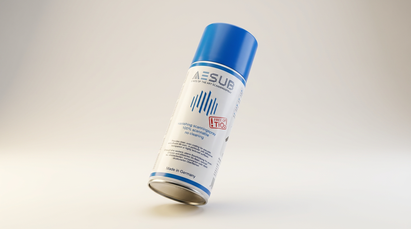
AESUB 3DTOOLS 3D Scanner Spray Review: The 'Evaporative Enabler'
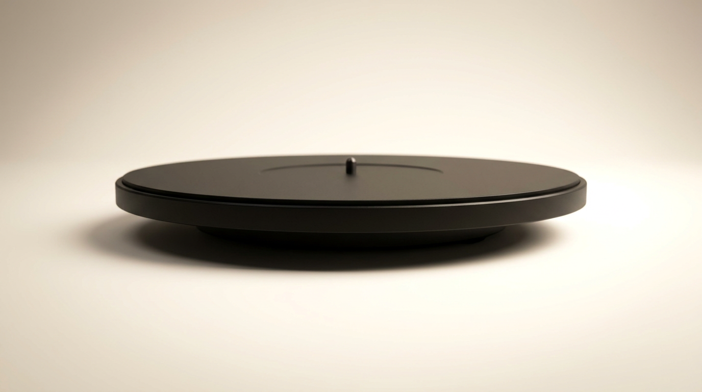
Creality 8-inch Rotating Turntable: A Solid Scanner Accessory

Generic 12 Piece Multi-Angle Markers Review: Essential 3D Scanning Dots
This review is based on real experiences shared by owners in online communities.